

Surveying in Mangystau Region: Working Desert Terrain
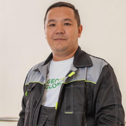
Makhmud Ukibayev
Head of Engineering Surveys Department
Geodetic work in Mangystau Region differs from urban survey not by a “climate line in the estimate” but by four field facts: erosional scarp (chink) terrain, sors and salt domes, persistent wind, and a sparse surviving SGN mark network. A contractor who arrives with a lowland Almaty method loses days on the tie and delivers a plan that does not join the local coordinate system. A base in Aktau removes that: the crew reaches a regional pad without a “mobilisation from another oblast” surcharge.
This article is for survey and construction clients: which conditions actually change method, equipment and time on sites in Aktau, Zhanaozen, Beyneu and the Mangyshlak and Buzachi fields.
Terrain That Breaks a “Smooth” Route
Mangystau is plateau, scarps, sors and aeolian hummocky ground. On an overview map a pipeline corridor looks straight. In the field a scarp brink and a wet sor floor shift chainage by hundreds of metres. That is why pre-design survey here almost always needs a DTM, not sparse cross-sections.
On open desert areas from 20–50 ha, DJI Matrice 4E aerial photography is faster. On brinks and in tight industrial yards the Leica TS06 Plus total station stays: a drone does not replace a station on the scarp edge.
Why a local contractor on topo work — in the piece on why a local contractor in Aktau saves more. Base geography and typical objects — on the Aktau and Mangystau Region page.
The Tie: Long GNSS Baselines Instead of “the Nearest Mark”
State geodetic network marks in remote parts of the region are often destroyed, behind an operator fence, or sitting in unreachable scarp terrain. The working scheme is static GNSS sessions (South G4, Leica GS-08 Plus) with baseline processing over tens of kilometres, then survey in the local Mangystau Region coordinate system.
The error “we surveyed in WGS-84 and delivered as-is” surfaces at the join with land management and with the field network. Transformation keys and an SGN tie catalogue are what expert review and the operator’s mine survey ask for.
GNSS versus a total station on an industrial pad — in GNSS vs total station.
Climate and Ground That Enter the Schedule
| Factor | Effect in the field | What goes into the method |
|---|---|---|
| Wind | UAV image smear, ranging-rod vibration | Flight window, spare days |
| Heat +40 °C | Drone electronics and people at the limit | Morning shifts, water, autonomy |
| Saline / collapsible soils | Settlement of tanks and racks | CPT, plate, monitoring cycles |
| 200–400 km remoteness | Zhanaozen / Beyneu logistics | Own transport, expedition stores |
| Restricted fields | Work permit, HSE | Crew permits in advance |
Field tests (plate, CPT, pressuremeter) on these soils are not an add-on to drilling; they are how you obtain the mass deformation modulus. See field vs laboratory soil tests.
What Clients Order Most
At the Aktau operating base the typical pack is engineering geodetic surveys, construction support, land management of industrial allotments, and geodynamic monitoring of fields. The Karazhanbas–Uzen–Buzachi line, the port and desalination, and renewables on open plateau need different survey scales, but one habit: do not lose the coordinate system between stages.
For a desert corridor the full setting-out and as-built cycle is in the article on geodetic support of pipeline construction.
FAQ
Can we survey “as in the city” on RTK without static sessions? On some Aktau pads — yes, if the network and marks are reachable. On a field in the steppe — usually no: you need your own base and statics.
Why is the drone postponed in “clear weather”? Clear is not working wind. Mangystau wind is the main reason to slip aerial photography.
Do you charge travel extras for regional sites? Travel across Mangystau Region runs from the Aktau base on our own transport, without a surcharge for mobilisation from another region.
Conclusion
Surveying in Mangystau is a DTM on the scarps, GNSS ties on long baselines, wind in the UAV schedule, and soils that need field tests, not only a laboratory. The local cycle is shorter not because of “connections” but because the method is already cut for these conditions.
GeoProGlobal is based in Aktau and works Zhanaozen, Beyneu and the region’s fields. To size the survey on your pad, submit a request on the quote page.
Need a consultation for your site?
Send the brief or call us and we will return a preliminary site estimate within 24 hours.